
Walk a Bluefield Street Directory
A sound search moves from the modern address to records that identify the land, then back to sources that may name people at that place. Start with the exact number, directional, street suffix, unit, city, state, and ZIP as printed. Keep the printed version too. Bluefield address records can disagree because a mailing address, an assessor's physical address, an E911 label, and a deed's legal description serve different purposes. None is a complete list of who lives there.
The owner field is a starting point, not an answer about occupancy. The Mercer County Assessor updates on an annual cycle, so a recent transfer may not yet appear. A person who does not own the parcel may never appear in the property roll. Use the following sequence to search the Bluefield street directory without merging unlike records:
- Normalize the street address, but save the original wording. Confirm that the result belongs in Bluefield, West Virginia, Mercer County, rather than Bluefield, Virginia.
- Search WV Property Search by street name. Record the parcel ID, owner-of-record field, physical address, legal description, district, and assessment date.
- Open the same site in the WV Parcel Viewer. Compare the GIS ID and E911 address, inspect adjacent parcels, and treat map lines as a visual aid rather than a surveyed boundary.
- Ask the Mercer County Clerk for the official deed and plat index route. Search both grantor and grantee names, then match the legal description.
- For a dated household clue, consult reverse-street sections in Bluefield directories. Verify any entry against the original year and page before treating it as evidence.
This path moves from address to parcel, owner name, deed, and dated directory entry. Voter information has a separate lawful request process and should never be copied into a street roster. A street-by-street search is strongest when every link in the chain has its own date and stated role.
Bluefield Street Search Fields
WV Property Search offers several ways to find a Mercer County parcel. Search one field at a time when possible. A street-only search can reveal several parcels along the same road, while an owner surname or full parcel ID can narrow a known result. The portal also exposes display choices that help bridge the assessor record to the GIS map and deed request.
| Field | Use | Format or caution |
|---|---|---|
| County and district | Limit results to Mercer and the right tax district | Do not assume a Bluefield mailing label proves city limits |
| Street name | Browse parcels by street | Try the base name apart from its suffix or direction |
| Owner | Find the owner-of-record field | Search surname separately; ownership is not occupancy |
| Parcel and map | Match a tax parcel | State parcel IDs have six elements |
| Class and land use | Filter property categories | Classification does not identify a household |
| Display options | Show legal description and GIS ID | Save both when moving to the map or Clerk |
A result may show appraisal, sales, advanced, or prior-ownership details. Record exactly which screen supplied a fact. The current assessment cycle can lag a deed, and assessed value is a tax figure rather than a claim about sale price or residents.
Reading Bluefield Parcel Terms
Address research becomes much easier once the terms are kept separate. The same Bluefield property can carry a postal address, physical address, E911 address, parcel number, and a deed description. Each points to the place in a different system.
- Parcel
- A tract or tax unit identified by the assessor. It is not a list of occupants.
- Situs address
- The physical location used for a parcel, which may differ from the owner's mailing address.
- Plat
- A recorded drawing that shows lots, streets, dimensions, or subdivision context. The Clerk can advise on official copies.
- Criss-cross directory
- A historical directory arranged by street or phone number instead of only by surname.
The legal description is often the most durable bridge when a number or street label changes. For a boundary dispute, rely on the recorded deed, plat, or survey process. MapWV itself warns that its parcel lines are best-fit graphics, not legal boundaries.
Bluefield Records Indexed by Street
No official citywide resident roster exists for Bluefield. Instead, an address can be checked across distinct custodians. The best source depends on whether the question concerns a parcel, recorded title, city action, voter administration, or a dated historical listing.
| Address source | Official keeper | Useful result | How to reach it |
|---|---|---|---|
| Assessment roll | Mercer County Assessor | Owner field, situs, parcel ID, class, values | Free state portal, assessor office, or map card |
| Parcel GIS | West Virginia assessment mapping | E911 address, nearby parcels, buildings, map context | Free viewer; details and map-link tools |
| Deeds and plats | Mercer County Clerk | Recorded transfers, legal descriptions, easements | Clerk counter, phone, mail, or confirmed copy route |
| Voter file | Mercer County Clerk and WV SOS | Statutory name, residence address, party, status fields | Inspection or regulated noncommercial request |
| Permits and Board files | Bluefield Engineering and City Clerk | Public permits, plats, zoning action, minutes | Department request or focused WV FOIA request |
| Historic directories | WV Archives, Craft, and WVU | Dated names, addresses, occupations, household notes | Holdings request, on-site help, or microfilm |
The parcel number and legal description tie the assessment result to deeds and plats. The street spelling links city files and historic listings. Keep role labels intact: owner, grantor, grantee, voter, and directory listing are not synonyms for resident.
Map Bluefield Parcels by Address
The WV Parcel Viewer adds spatial context to the Bluefield street directory. Its parcel, address, and flood-zone modes can display description, owner, physical address, buildings, costs, appraised values, delinquent status, community, and E911 fields. Highlight a result, open its details, and copy the map link so a later review can return to the same view.
Map tools are most useful for checking whether two records refer to the same parcel and for seeing adjoining tax units. They cannot settle a lot line, show who is inside a building, or turn an owner name into proof of residence. The viewer notes a result limit and offers KMZ export, but bulk person mapping is neither needed nor appropriate for a normal street question.
Telephone and security-alarm data are redacted in the state assessment explanation. That is a useful boundary: keep the Bluefield address search focused on public land facts and broad map context.
Follow Bluefield Deeds and Plats
Mercer County does not have a verified current official web deed index in the research record. The fallback is direct contact with the County Clerk at 1501 West Main Street, Suite 121, Princeton, with record-room help at 304-487-8313 during weekday office hours. Ask for the official index and copy procedure, not an unofficial substitute.
Give the clerk the instrument type, name variants, approximate dates, parcel or address, and any known book and page or instrument number. Search both sides of a transfer. A grantor gives or conveys an interest; a grantee receives it. Trustees, estates, corporations, and special commissioners may also appear, so record the named role rather than assuming a household relationship.
West Virginia law requires grantor and grantee indexing, but that index is not an occupant list. Older research can move to the WV Archives Mercer microfilm holdings, which list deeds from 1837 through 1904 and deed indexes from 1837 through 1968. Current fees and certification steps must be confirmed with the Clerk.
Bluefield Street Files at City Hall
Permits, plats, zoning decisions, Board actions, and code files can explain what happened at a Bluefield address even when they do not name a resident. Engineering handles planning, zoning, building permits, site plans, annexation, rezoning, variances, and inspections. The City Clerk keeps Board actions and provides the city records request route.
The Bluefield Engineering page shows the local applications and planning work used for address research.
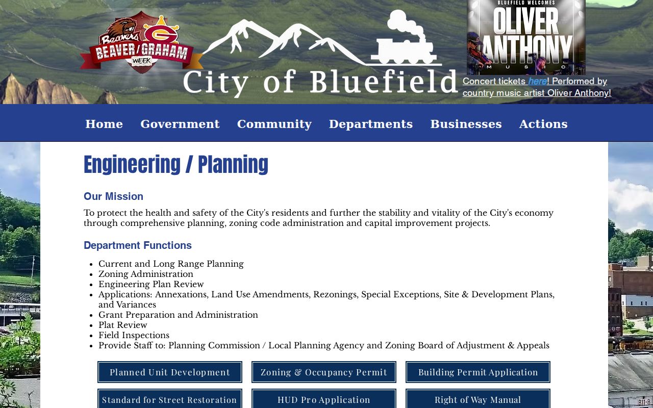
The captured page supports a department-based request when no searchable permit portal exists. Ask for existing non-exempt records tied to an address, project, date range, or file number, and do not treat a complaint as a finding about a person.
Request Bluefield Address Records
When a city record is not posted, send a narrow request to the City Clerk at 200 Rogers Street, Bluefield. Name the department, address or street, record type, and date range. Ask for electronic copies of non-exempt parts and allow redaction. Under West Virginia FOIA, the city should respond as soon as practical and within five days excluding weekends and legal holidays by providing access, arranging inspection, or explaining a denial.
The Bluefield City Clerk page identifies the custodian and official FOIA route.
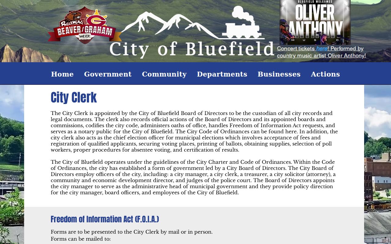
This route is useful for Board minutes, a permit trail, or an address project that the online map cannot answer. It does not require the city to create a new analysis or a resident list.
Note: Ask for inspection when copies are unnecessary, and preserve the request date, response, source office, and any stated record gap.
Historic Bluefield Streets by Year
A modern address may not connect cleanly to an old one. No official citywide Bluefield renumbering or renaming inventory was found, so a mismatch must remain unresolved until a bridge appears. Compare the old street and number in consecutive directories, inspect the reverse-street section, check a Sanborn map, and then seek a deed, plat, permit, ordinance, or Board minute.
Bluefield city directory holdings span selected years from 1917-18 through 2016, with substantial annual runs from 1970 through 1991 and 1993 through 2001. The full collection details belong on the Bluefield city directory page. For address work, cite only the volume, year, page, printed label, and repository needed to link that one street.
Sanborn maps add building footprint, use, material, lot, and old street-label context. The Library of Congress has a 1922 Bluefield set with 36 sheets. A matching outline helps identify a place, but it still does not identify occupants.
Bluefield Street Boundary Checks
ZIP 24701 is the main Bluefield, West Virginia postal code, yet ZIP geography does not define the incorporated city. A Bluefield mailing address can lie in county territory. Store city, county, state, ZIP, tax district, and parcel jurisdiction as separate fields, then confirm each in the source that governs it.
The same-place test is strict: compatible number and street, a matching block or building footprint, and a record from the same period. Bluefield, Virginia uses different jurisdiction records and has been associated with ZIP 24605. Never import those results into a West Virginia street search without clearly labeling cross-border history.
For an E911 or address correction, start with Bluefield Engineering or the City Clerk and follow the official referral. MapWV says local addressing offices submit E911 labels to the state system, but the precise Bluefield correction office and public form were not verified.
Limits of Bluefield Street Records
A Bluefield street directory cannot prove who is inside a home now. Assessment records identify an owner-of-record field for a tax cycle. Deeds show an interest or transfer. Directories are dated publisher listings. Voter records serve election administration, and their public fields exclude phone, email, Social Security numbers, and driver-license data. Utility contacts can confirm public service geography, not customer names, accounts, meter data, use, or payment history.
Protected and confidential records stay outside an address search. West Virginia's Address Confidentiality Program supplies a substitute address for eligible victims, and that safeguard must never be defeated by combining sources. Court files can be sealed, vital records have release limits, and the property viewer redacts sensitive phone and alarm fields.
Lawful use. Use Bluefield address records only for lawful personal, civic, family, or property research. Never use them to monitor, stalk, harass, threaten, or harm a person.
Stop a person-level search if a protected-address signal appears. Contact the source custodian about correction or suppression, and publish the office route rather than a precise private location.