
Bluefield Neighbors by Block
A block lookup can show parcel layout, owners of record, historic buildings, public infrastructure, and dated organization addresses. It cannot supply a dependable roster of occupants. Bluefield sources are split among Mercer County, the city, state systems, and archives, so each one should answer only its own question.
| Source | What It Shows About a Block | Access |
|---|---|---|
| WV Parcel Viewer | Parcel shapes, owner field, physical address, buildings, values, flood and community context | Free public map |
| WV Property Search | Owner of record, parcel ID, legal description, class, and assessment data | Free; annual assessment cycle |
| Bluefield City Clerk and Board | Public projects, ordinances, annexations, street actions, and meeting records | Online records or focused FOIA request |
| City Engineering | Permit, plat, zoning, and land-use files tied to a place | Department request; no verified public index |
| Historic directories and maps | Dated street sequence, businesses, structures, and past listings | Archive, library, or repository access |
The owner field belongs to an assessment record. The situs address means the location of the parcel, while the mailing address is where tax correspondence goes. Neither field confirms present occupancy. Historic listings are also dated clues, not current facts. A careful description says “owner of record” or “listed in the 1956-57 directory” and preserves the assessment or volume year.
Bluefield Parcel Viewer Tools
The West Virginia Parcel Viewer offers parcel, address, and flood-zone modes. Search the anchor address, turn Highlight on, open Details, and inspect the lots touching or facing it. The details may include parcel description, owner, physical address, buildings, costs, appraised values, delinquent status, community, and E911 data. Its copy-link feature lets a researcher preserve the mapped view.
Map lines are a best-fit display, not legal boundaries. The viewer notes that sensitive phone and alarm fields are redacted and that searches may be capped at 1,000 results. A one-block question should never approach that limit. Use the smallest area that answers the question, then compare a parcel's legal description against the assessor or deed custodian when a boundary matters.
Open the official WV Parcel Viewer to identify the address, parcel controls, and surrounding map context.
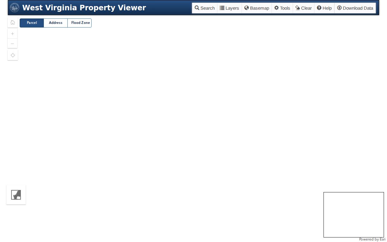
The viewer's layers and detail control support a block map, while its limitations prevent parcel lines from being treated as a survey.
Map Bluefield Neighbor Parcels
Work outward from one verified address in a short, repeatable flow. Address → highlighted parcel → adjacent parcels → assessment details → city or historical context. This method keeps the scope on the immediate block and makes the source behind each statement visible.
- Normalize the street number, direction, street type, city, state, and ZIP before searching the WV Parcel Viewer.
- Highlight the anchor parcel. Record its parcel ID, physical address, map context, and assessment year.
- Click only the lots that touch, face, or sit directly behind the anchor. Record owner fields as ownership, never occupancy.
- Check an unclear lot in WV Property Search by street, surname, or parcel, and include legal description and GIS ID fields.
- For a full named-street chain, move to the Bluefield street directory workflow.
Save the map link, access date, assessment year, and any unresolved mismatch. The assessor's 2026 tickets use the July 1, 2025 assessment, with the next site update stated as around July 15, 2027. That timing can leave a recent transfer out of sync with a deed.
Bluefield Block Project Records
A block changes through public work as well as parcel transfers. The Bluefield City Clerk keeps Board proceedings and receives city Freedom of Information Act requests. Minutes may document a street project, annexation, rezoning, demolition, ordinance, or service decision. Search the meeting window first, then ask for the file cited by the Board action.
Bluefield Engineering handles permits, plats, zoning, and land-use applications. No searchable citywide portal was verified, so the correct route is a focused department request using the address or parcel, project type, and date range. Existing non-exempt records may be requested electronically. The West Virginia FOIA response period is generally five days, excluding weekends and legal holidays.
Review the Engineering department page before framing a narrow parcel or project request.
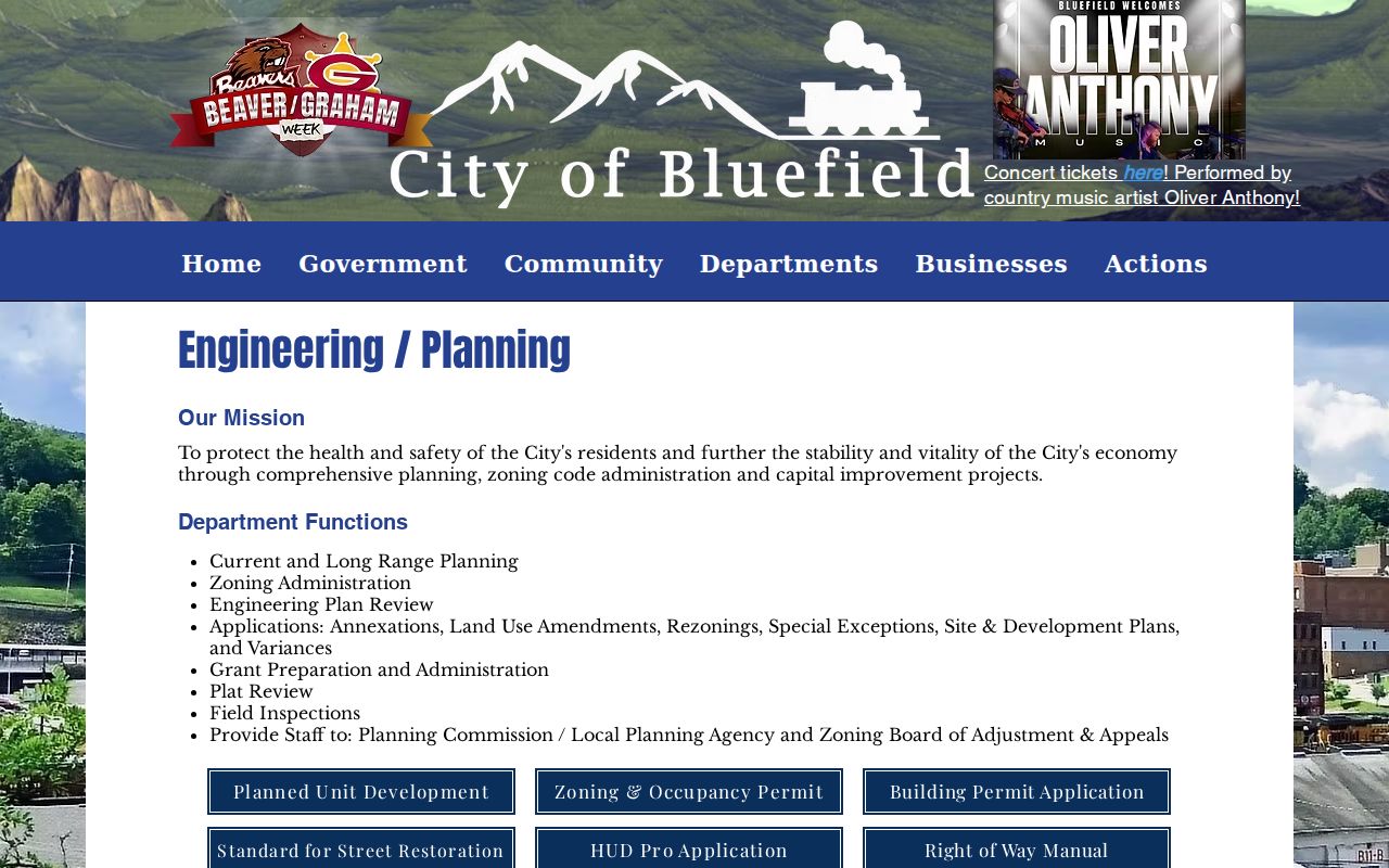
The department route adds verified project context without turning permits into claims about the people near the work.
Bluefield Block History Sources
Historic maps and directories can explain why a building, lot, or street edge looks as it does. The Library of Congress holds Bluefield Sanborn fire-insurance maps, and the National Park Service South Bluefield Historic District materials can point toward building and neighborhood history. A map sheet shows a dated footprint and use, not a current household.
WV Archives and WVU regional collections hold Bluefield city-directory and microfilm leads. Reverse-street or householder sections, when a volume has them, can place a dated listing in block order. Directory fields vary by year, so cite the publisher, year, page, repository, and printed abbreviation. Craft Memorial Library can add a newspaper or obituary citation when an exact name, date, and place are known.
For a strong historic block packet, pair one current parcel extract with one verified directory page, one Sanborn sheet where available, one City Clerk or Engineering lead, and one archive or newspaper source. Describe buildings, institutions, public works, and old businesses. Do not turn the packet into a roster of current Bluefield neighbors.
Note: If no deed, plat, map, permit, or ordinance bridges an old and current address, mark the relationship unresolved.
Bluefield Community Contact Layer
No current official umbrella directory of active Bluefield neighborhood associations was found. That gap should remain visible. Public offices and institutions can still answer place-based questions without exposing private member lists.
Bluefield City Clerk
Board proceedings, ordinances, and city FOIA requests at 200 Rogers Street.
Bluefield Engineering
Permit, plat, zoning, and land-use questions tied to a parcel or project.
Craft Memorial Library
Dated newspaper and obituary research, including the Bluefield Daily Telegraph.
Bluefield Historical Society
Historic district, building, and community context, not a current household roster.
A civic group or congregation may publish an office contact or event page. Use that public channel for community questions. Do not ask for a private roster. For an organization at an address, the West Virginia Secretary of State filing can verify the entity name, status, and filed address type, but a business address is not a home address.
Public utility contacts add one more form of place context. Board minutes and service notices may document a line project, outage response, road opening, or other work that affected several lots. Those records can help date a physical change on the block. They cannot identify a customer or prove that a named person occupied a home. Frame the request around the project, street segment, and date rather than an account.
Bluefield's coal and rail history also crosses today's local boundaries. The Eastern Regional Coal Archives, historic maps, photographs, and oral histories may identify an old company place or public institution. Corroborate a historic person through a dated directory or newspaper citation. Label every Virginia source and repository when regional history crosses the state line, since context from Bluefield, Virginia cannot stand in for a Mercer County resident record.
Bluefield Voter Block Boundaries
The West Virginia voter lookup is designed for one voter to check status, party, districts, and polling place using first name, last name, and date of birth. It updates nightly, with a stated maintenance window. A correction goes to the Mercer County Clerk.
West Virginia Code §3-2-30 governs public voter-list fields and excludes phone, email, Social Security number, and driver-license data. Mercer County's policy provides an inspection or request path and describes a one-cent-per-name charge for a noncommercial printed list. A list must never be copied into a block directory. Voter address is an election-registration field, not proof of everyone in a household.
Official Bluefield Neighbor Sources
Commercial neighbor tools may merge old addresses, marketing data, and unverified relationships. Official sources are narrower but state the office, record role, and update context. That makes them easier to check and correct.
| Source type | Useful for | Key limit |
|---|---|---|
| Official parcel and city records | Ownership, parcels, projects, and dated public actions | No proof of current occupants |
| Library and archive records | Past listings, maps, buildings, and community history | Historical coverage only |
| Commercial compiled tools | Possible leads from merged data | Source dates and identity links may be unclear |
Use the official custodian when a correction, copy, or clear meaning matters. A record with a narrow role is safer than a broad claim that cannot be traced.
Bluefield Neighbor Privacy Limits
Utility customer data, delivery data, sensitive identifiers, and undisclosed household details do not belong in a neighbor lookup. The parcel roll names owners, not all residents. The voter system serves an election purpose. Court, vital, and registry information carries separate restrictions and should not be repurposed to label a block.
West Virginia's Address Confidentiality Program gives eligible survivors a substitute address and mail service. Any protected-address signal ends person-level research. Sealed records, redactions, and access controls must also stay intact. When a public record appears wrong, send the correction to the office that owns it rather than circulating the error among neighbors.
Lawful use. Research Bluefield neighbors only for lawful civic, historical, property, or personal purposes. Never use an address record to watch, harass, intimidate, or harm anyone.